Chicago weather: Multiple tornado touchdowns, damage reported in Sugar Grove, Aurora


CHICAGO (WLS) -- Multiple tornado touchdowns were reported in the western suburbs as a cluster of strong thunderstorms raced through the area.
ComEd said as of 9:30 p.m., there were 5,887 customers without power.
The downpours, wind and lightning were so intense in the 7 p.m. hour that cars and trucks could be seen taking shelter beneath the underpass of the Illinois Tollway west of Barrington in both directions.
Tornado touchdowns reported near Sugar Grove, Aurora, farther west

And under skies shrouded in the sudden darkness of a wall cloud around 7 p.m., tornado-force winds whipped through western Kane County. A tornado touchdown was reported in the west suburbs near Sugar Grove.
Campus security at Waubonsee Community College guided students around collapsed light poles and tree branches sheered off in the crush of the apparent late February tornado.
The Kane County campus may well have been in the direct path of a fast-moving funnel cloud. Large portions of the parking lots are left littered with debris, and surrounded by ComEd crews were trying to quickly restore power.
Click here to watch our live radar
One man emerged from a safe space at the college to find a window of his small SUV shattered all over the front seat. He found the car parked in the opposite direction he'd left it, spun around by the force of tornadic winds.
Students and staff hunkered down through the worst of, what rescuers say, may have been a collection of tornadoes.
The same line of storms tore off part of a roof in nearby Big Rock. The Kane County Sheriff's Office said four tornado touchdowns occurred Tuesday evening, three within the borders of North Aurora and Sugar Grove.
Kane County rescuers have been scrambling since the sirens subsided on Tuesday night. And i Elburn, a driver pulled off to the side of the road as strong winds whipped through all around him.
Undersheriff Amy Johnson said there appeared to be a touchdown on Bliss Road at Morse Road, and there are trees and wires down in the roadway. There is also tree damage and downed wires on Route 47 nearby.
In the area of Nelson Lake Road and Main Street, significant tree damage has made the road completely impassable, Johnson said, and deputies are on the scene to address several car crashes. Johnson said no injuries have been reported.

Johnson urged everyone to stay away from these areas and off the roads if possible, as conditions and damage are dangerous.
The National Weather Service reported as of 6:30 p.m., a tornado was spotted on the ground east of Waterman in DeKalb County. Funnel clouds have also been reported in Lee County near Paw Paw.
Storm damage reported in north suburbs
A Mundelein apartment building in the Washington Court neighborhood suffered heavy damage.
One man, who lives nearby, told ABC7 the apparent tornado sounded "like a freight train" coming through.
It was unclear if anyone was injured or how extensive the damage may be.
Hoffman Estates mother, daughter recall sheltering in bathroom
There was also a reported funnel cloud around Hoffman Estates. Around that time, one mother and daughter were huddled in their first-floor bathroom.
"All of a sudden, the wind picked up. We heard things hitting the roof, hitting the windows. We were downstairs. The sirens were already going off," said Nancy Kramp.
"I could just hear things hitting the window, and I told her, 'I think this is a tornado.' And she said, 'No, we're fine.' And I was like, 'No, I really think this is a tornado coming through,'" said Lauryn Kramp.

The storm knocking down trees and downed power poles in the High Point subdivision, leaving several blocks in the dark. Some homes sustained siding and other damage.
"Our fence was down. We've got people's roof pieces and siding all over the yard," Nancy said.
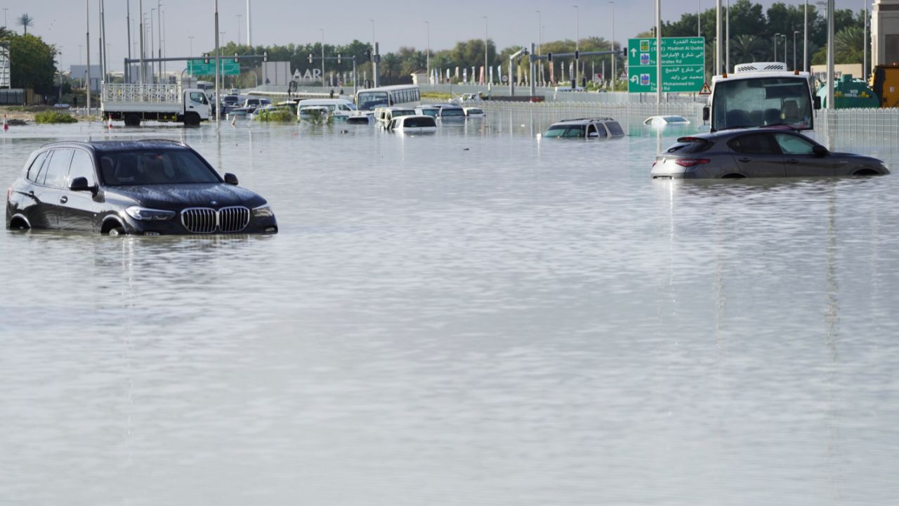
The storm arrived in the northwest suburbs with extreme lightning and sheets of rain, making driving on major thoroughfares dangerous. Flash flooding was reported throughout the area, catching some drivers off-guard.
In Northbrook, dime-size hail pelted cars. Folks watched with awe as nature unleashed spring-like wrath on this late winter day.
"It was pretty scary. I was trying to be the mom and keeping her calm, but yes, it was quite scary and nerve-wracking," Nancy said.

Meanwhile, in Lemont, a viewer showed ABC7 a handful of hail gathered after the storms swept through the village. Similar photos came in from Bartlett.
And in Clarendon Hills, another viewer capturing large amounts of pea-sized hail coming down on to their porch in the southwest suburb.
The footage is similar to what ABC7 saw in Hillside, with hail coming down followed by an impressive light show. A time-lapsed video showing several lightning strikes as the clouds moved out of the western suburb.
The cluster of storms is bringing heavy downpours, a huge amount of lightning and large hail. But they are moving extremely quickly from west to east, and were clear of the area by about 10 p.m.
SEE FULL FORECAST: Accuweather Alert | PM showers and storms Tuesday
After the storms leave, the area will experience a rapid temperature drop, with wind chills potentially in the single digits Wednesday morning. There could also be snowy and icy conditions for the commute Wednesday morning.
Chicago area sees near-record high temperatures before severe storm outbreak

Chicago nearly broke the record for temperatures Tuesday, feeling more like June than February.
Two friends took the train in from Joliet to play chess by the Chicago lakefront. Others decided to trade ice skates for roller skates before the cold front moved in.
The Riverwalk was buzzing with people during lunch, a rare sight during a month that usually has us hunkered down.
On the North Shore, the warm up made a big splash, with one swimmer taking a morning dip in Lake Michigan.
Many were getting out and soaking up the sun, on a day when temperatures easily reached the mid-70s.
"I think you just feel happy, especially whenever the sun is out, and we had all of probably three weeks in January where we didn't see the sun," Melissa Field said.
John and Sandy Lyons brought their breakfast to Lakefront Park in Glencoe to enjoy the unseasonably warm weather.
"I hope it stays here until June," John Lyons said. "This is just an amazing winter that we're having, and this weather and in February has been perfect."
Just a few blocks away at Hometown Coffee and Juice, Lou Lubin opened up the windows for his customers, many eager to eat outdoors.
"It's good for business obviously people want to get out," Lubin said. "It's winter time. It's 50, 60, 70 degrees, so it makes it very, very busy."
Alex Nellessen chose to sit outside with his wife, dressed in a pair of shorts.
"We just dropped the kids off at school, and we're like 'let's have a little morning brunch date together...al fresco exactly,' can't beat this right now," Nellessen said.
Sandy Lyons is hoping for the best.
"I don't think we're gonna have any more snow, and I don't believe in the hail they're talking about tonight either," Lyons said.