Chicago weather: Severe Thunderstorm Warning expires for area as storms leave damage, flooding
The weather is impacting air travel, and storms are also possible on Sunday night and Monday.

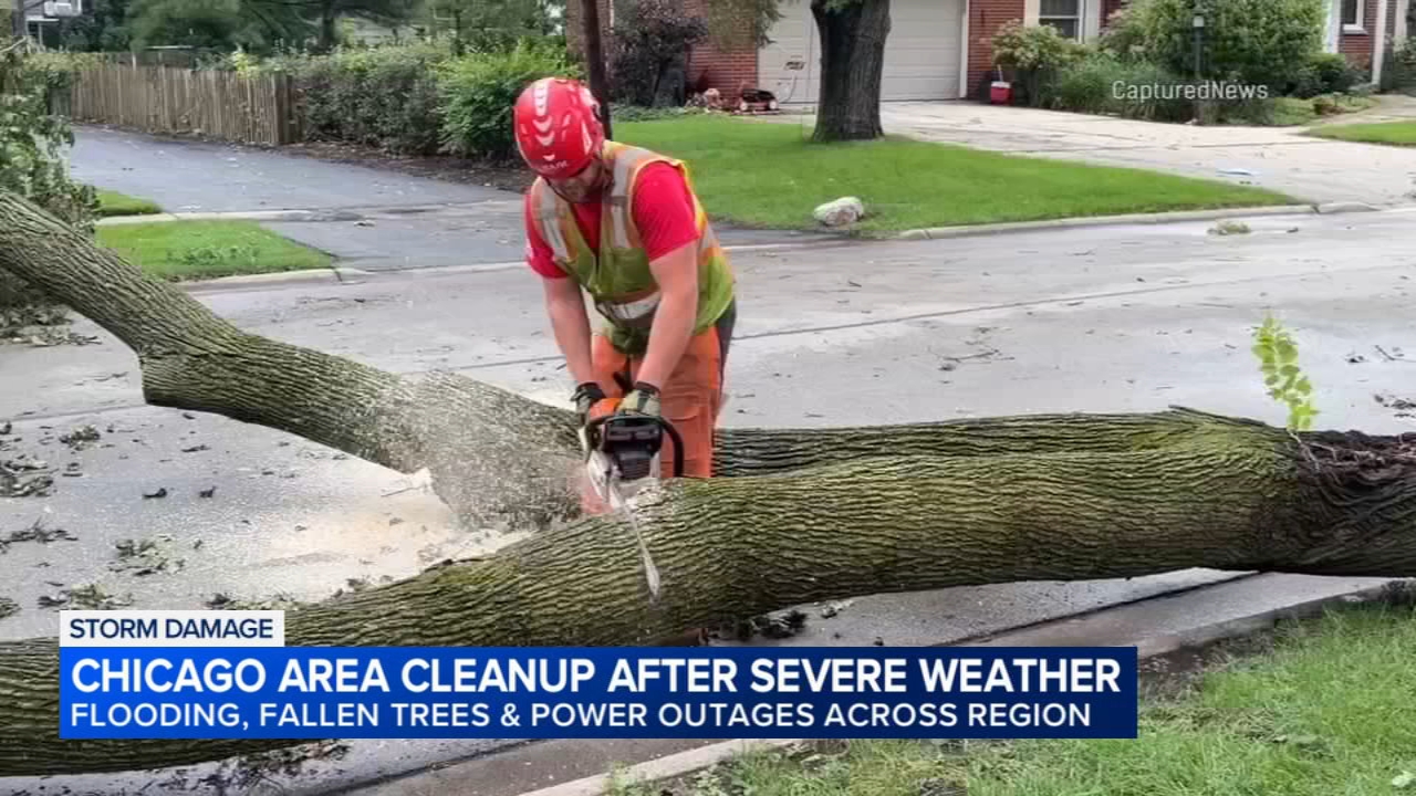
CHICAGO (WLS) -- Strong storms swept through parts of the Chicago area on Sunday afternoon with more storms expected in the evening hours.
The Chicago area was under a Level 2 out of 5 risk for severe weather on Sunday. Damaging winds, flooding, and hail are the main threats.
ABC7 Chicago is now streaming 24/7. Click here to watch
Sunday morning had a calm start with temperatures in the 60s. Humidity is expected to increase throughout the day, and highs will reach into the mid-80s.
The first round of storms began moving through Wisconsin around 11:30 a.m. and reached the Chicago area around 1 p.m. before moving out around 4:30 p.m.
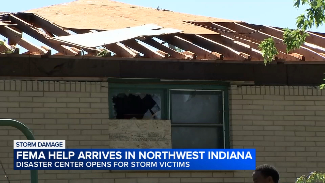
Video out of northwest Indiana shows heavy rain and strong winds battering the area.
Rain also pounded the Loop on Sunday afternoon. Some people ran, trying to dodge the raindrops.
A car went into a retention pond in north suburban Mundelein. There's no word yet if weather played a part in this crash, but the roads appear to have been slick at the time.
Emergency crews responded to 10 Midland Avenue around 1 p.m. Sunday. Authorities did not immediately say whether anyone was injured.
The rain also caused a two-hour delay at Rate Field, but the White Sox and Cleveland Guardians were able to resume play.
A Flood Watch is in effect for Cook, DeKalb, DuPage, Will, Grundy, Kane, Kankakee, Kendall, Lake (IL), McHenry, Jasper, Lake (IN), Newton, and Porter counties until 7 a.m. CDT Monday.
Berrien and LaPorte counties are under a Flood Advisory until 8:15 p.m. CDT Sunday.
LaPorte and Starke counties are also under a Severe Thunderstorm Watch until 11 p.m. CDT Sunday.
Storms cause travel delays
A Ground Delay is in effect for departures to Chicago O'Hare International Airport due to thunderstorms, the Federal Aviation Administration said.
A Departure Delay for flights out of O'Hare is also in effect due to storms, according to the FAA.
As of 6:21 p.m., 195 flights had been canceled at O'Hare with delays averaging 90 minutes. Just four flights had been canceled at Chicago Midway International Airport with delays averaging 55 minutes.
More potentially severe storms expected Sunday night, Monday
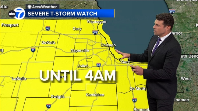
ABC7 AccuWeather meteorologists said a second round of storms was expected to hit the area around 8 p.m. or 9 p.m. Sunday and continue through about 11 p.m. A Severe Thunderstorm Watch was issued by the National Weather Service to last through 4 a.m. Monday.
More heavy rain could cause flash flooding on Sunday night. The storms could also produce gusty winds and small hail.
Sunday night's severe storms are expected to be out of the area by midnight, but scattered storms are still possible overnight and into early Monday.
Monday is also an AccuWeather Alert day. Storms are expected to begin around 3 p.m. and build into the evening hours.
More storms are likely on Tuesday morning, with scattered storms also possible on Wednesday.