Chicago Weather Live Radar: Rain, thunderstorms possible overnight


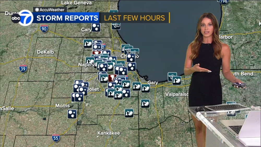
CHICAGO (WLS) -- Memorial Day weekend is off to a rainy start, with scattered storms across the Chicago area Friday evening.
Scattered showers and thunderstorms are possible Friday night into Saturday morning. The risk of severe weather is relatively low, but a few strong storms remain possible.
Chicago area is under a slight risk of severe weather Friday night, with part of the area under enhanced risk.
WATCH: ABC7 AccuWeather Forecast
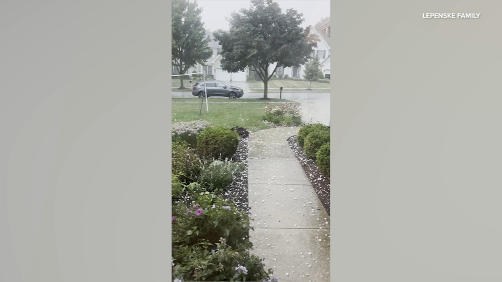
Any storms that do develop could produce heavy rain.
A Flash Flood Watch is in effect for Boone, Cook, DeKalb, DuPage, Grundy, Kane, Kendall, La Salle, Lake, Lee, McHenry and Will counties in Illinois and Lake County in Indiana until 10 a.m. Saturday.
Additional showers and storms will be possible Saturday morning, but much of Saturday afternoon looks like it will be dry. A round of storms is possible Saturday evening and Saturday night.
Sunday morning, rain is expected. Monday morning and early afternoon is expected to be dry, with storm chances increasing through late Monday afternoon and evening.
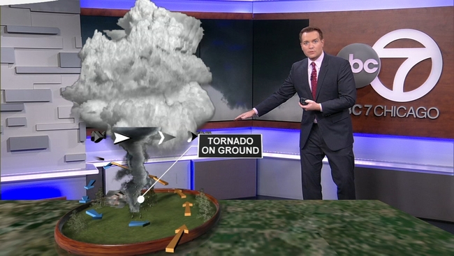
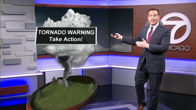
Which is worse: Watch or Warning?
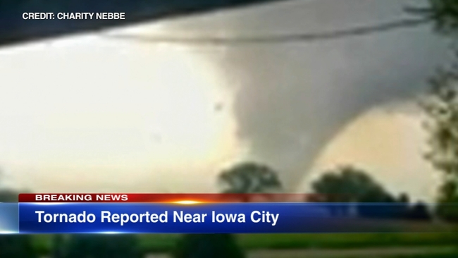
TORNADO TOUCHES DOWN IN EASTERN IOWA
A tornado touched down Friday evening in eastern Iowa. There was damage reported in Frytown.
The University of Iowa sent an alert urging people to take shelter, prompting a graduation ceremony at Carver-Hawkeye Arena to come to a halt.