LIVE RADAR: Chicago Weather: Storms move out, sky clears up Sunday night


CHICAGO (WLS) -- Rain and storms have moved out of the Chicago area as of Sunday afternoon.
A Severe Thunderstorm Warning is still issued for DeKalb effective until 6:40 p.m.
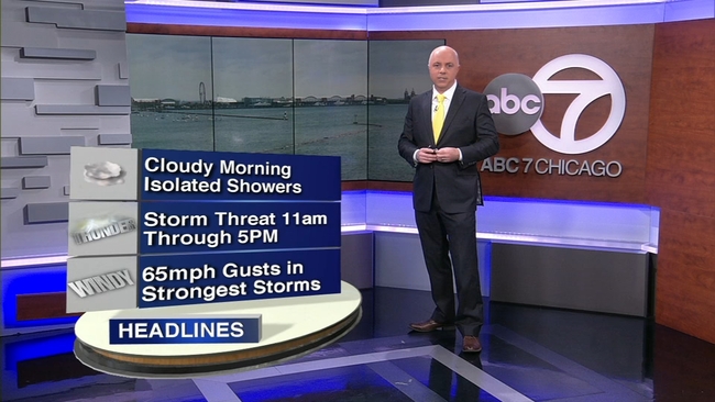
Storms moving into McHenry and DeKalb counties produced 48 mph gusts in Rockford.
Sunday Storm Details
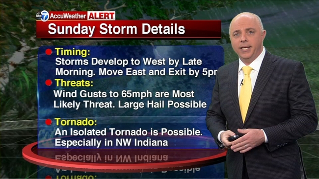
Some storms will have winds up to 56 mph. Radar is detecting wind speeds near 50 mp in Southwest Cook County.
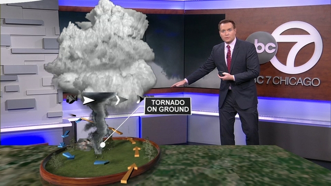
RELATED: How do tornadoes form?
An isolated tornado is possible, especially in northwest Indiana.
As of 3 p.m., ComEd confirmed at least three thousand customers are without power across the Chicago area. Most of the outages are concentrated in the Southwest suburbs.
ComEd is currently responding to several power lines that are down on the North Side.
ComEd confirmed the 29th Ward in Chicago has the most outages in the city.
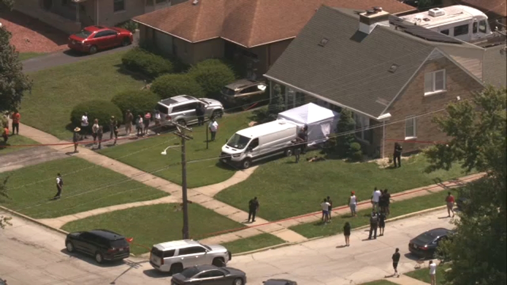
RELATED: Cars crushed, trees, power lines down in Edgewater neighborhood after Sunday storms
Numerous trees and power lines are down in Rogers Park, and at least three vehicles were damaged by fallen trees.