24/7 Live
Chicago & Suburban Cook Co.
North Suburbs
West Suburbs
South Suburbs
NW Indiana
Watch Live
Weather & Traffic
Weather
Forecast
I-Team
Investigates
Travel Scam Warning
Price Tracker
Streaming
Chicago Proud
Sports Overtime
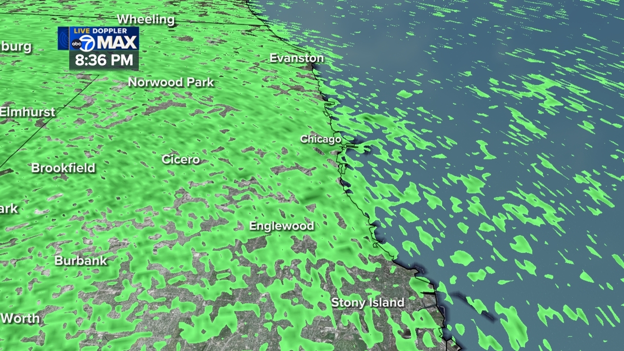
Chicago Area Weather Radar
Share
Tweet
Email
LIVE Doppler 7 MAX
Share
Tweet
Email
Animate
Chicago weather: Partly cloudy, stray shower Wednesday
Chicago - Cook County Live Weather Radar
DuPage County Live Weather Radar
Will County Live Weather Radar
Lake County Weather Radar Live
Kane County Weather Radar Live
Show More
Lake County, Indiana, Weather Radar Live
Chicago South Suburbs Weather Radar Live
Chicago West Suburbs Weather Radar Live
Chicago North Suburbs Weather Radar Live
Northwest Indiana Weather Radar Live
Show Fewer
Weather Team
Cheryl Scott
Larry Mowry
Tracy Butler
Phil Schwarz
Greg Dutra
Jaisol Martinez