Polar vortex 2021: Illinois climatologist discusses cold Arctic air with ABC7 meteorologist Cheryl Scott


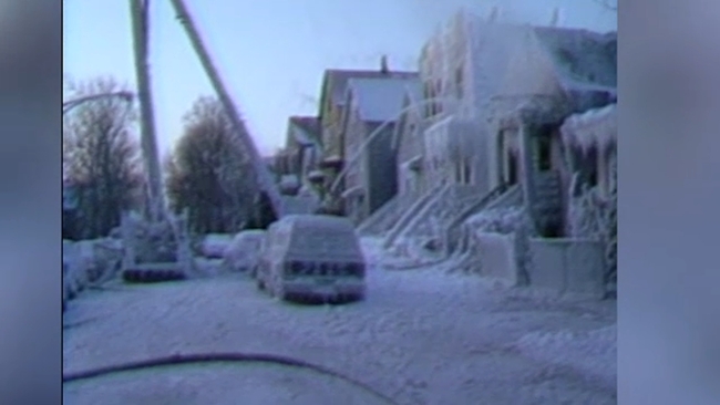
CHICAGO (WLS) -- You may have noticed the crisp bite of the recent sub-zero temperatures. That's because we're in the midst of a persistent frigid and snowy weather pattern, according to ABC7 Meteorologist Cheryl Scott.
With two weeks of high temperatures below freezing and nearly 30 inches of snow since January 25, winter is leaving its mark after a slow, mild start to the season.
RELATED: Chicago weather history: Look back at coldest day on record in 1985
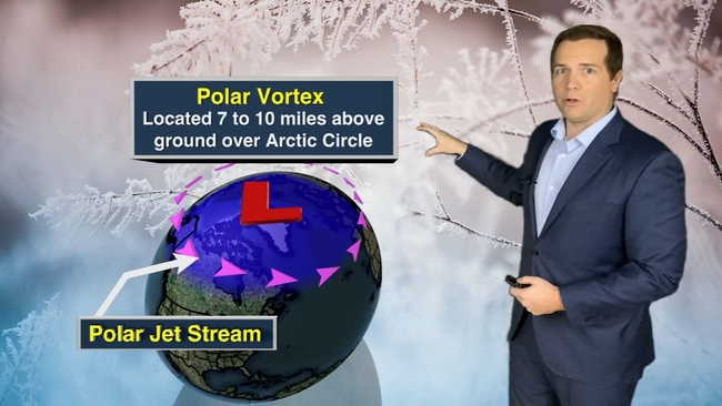
This relentless cold and snowy weather can be traced to a disruption of the Polar Vortex in January. A weakening of the Polar Vortex allows the bottled up cold arctic air to spill into regions farther to the south. As it goes around, Chicago -- along with much of the U.S. -- happens to be on the receiving end.
Cheryl sits down with Illinois state climatologist, Trent Ford, to dive deeper into the meaning of the Polar Vortex and its impact here in Illinois.
RELATED: What is the Polar Vortex?
Another round of cold and snowy weather will start this week but there are some warmer temps on the horizon.
The last major Polar Vortex was in late January 2019.