Chicago weather: Spotty storms roll through Chicago area but save their strength for Tuesday
Flash Flood Warning in effect for parts of NW Indiana | Large tree falls on man's car on Chicago's SW Side


CHICAGO (WLS) -- Spotty storms moved through the Chicago area Monday afternoon, but the weather is saving its strength for a round of possibly severe storms Tuesday night.
A Flash Flood Warning is in effect for Jasper and Newton counties until 2:15 a.m. Tuesday.
ABC7 Chicago is now streaming 24/7. Click here to watch
O'Hare International Airport was put under a ground stop several times early Monday afternoon, which has since been lifted. There are residual delays as a result.
Monday's storms left a mess behind in northwest suburban Elgin.
People there were cleaning up downed trees and branches from driveways and on top of cars.
An electric pole also snapped and fell onto a sidewalk just steps away from a park.
Large tree falls on man's car on Southwest Side

Meanwhile, Chainsaws revved into action on Monday night with City of Chicago crews trying to make quick cleanup work of a decades-old tree that fell in the force of an afternoon storm.
Before the swift atorm blew through Beverly, captured, in part, on a neighborhood Ring camera, a pile of tree had towered above a family's centurion corner house at 106th and Campbell.
The home's last source of shade shattered a side window and tore off terracotta tiles as it toppled over.
Headed home from an afternoon errand, Ralph Athey saw and felt the storm from the underside of the tree.
"The tree fell on me! I was just driving down the street and, 'wonk,'" Athey said.
Just a stone's throw from his home, Athey says, an old Ash tree collapsed onto his car.
See the latest AccuWeather report
"There I was in my front seat. The airbags went off," Athey said.
Athey, 80, stepped out and walked the rest of the way home, seemingly unfazed with just a cut on his arm.
"I remember nothing of this happening," Athey said of the cut.
But his wife, Mary Beth Rolak, and the neighbors, who watched the tree crush his car, were left a little more aghast.
"As soon as I saw that he wasn't dead, I thought to myself, 'thank God,' but he should have been," Rolak said.
Tuesday's severe threat forecast
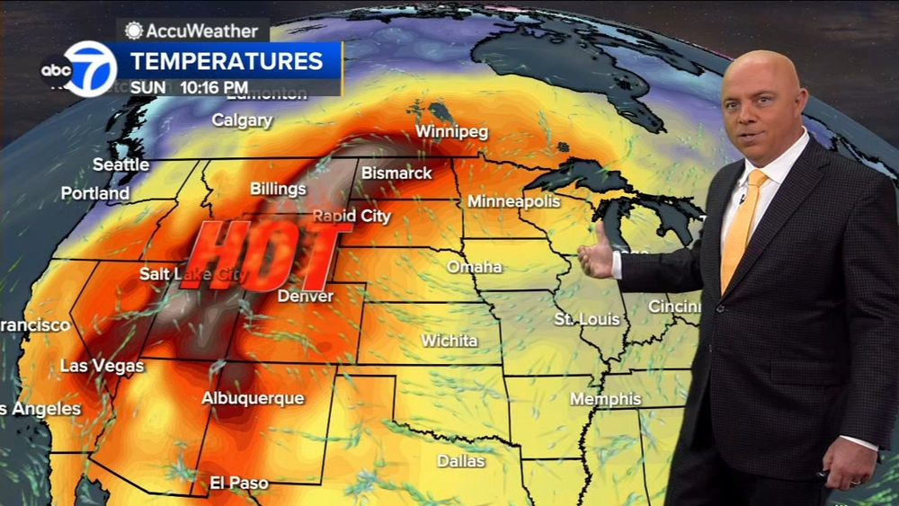
And while there may be isolated thunderstorms overnight, the real threat for severe weather is Tuesday evening and night, ABC7 Chicago Meteorologist Larry Mowry said. Highs are expected to be in the upper 80s and even into the 90s, which could further strengthen storms that develop.
Tuesday there is a 2% tornado risk in much of the Chicago area, with much of the north, northwest, southwest and near west suburbs and at a 5% tornado risk. The far west suburbs see a tornado risk of 10%.
SEE ALSO: Summer weather outlook forecasts more 90-degree days, higher chance of severe weather than last year
Tuesday is expected to be largely dry and very warm and muggy, Mowry said. Then, between about 7 p.m. and 1 a.m., the cluster of thunderstorms is expected to move into our area. While they will likely weaken slightly as they go, there is still potential for severe weather including large hail, high winds and a brief tornado or two, Mowry said.
Wednesday through Friday should be nice, and then rain returns just in time for Memorial Day Weekend.