Chicago area readies for more storms after 2 tornadoes hit LaSalle County

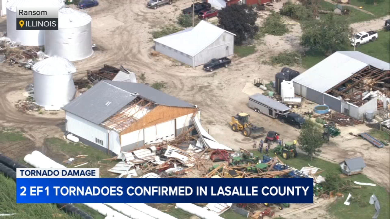
CHICAGO (WLS) -- The Chicago area is preparing for more storms on Tuesday after two tornadoes hit LaSalle County on Sunday night into Monday morning.
ABC7 Chicago is now streaming 24/7. Click here to watch
Our coverage of this story has moved here.
Most of the Chicago area was under a Level 2 out of 5 risk for severe weather on Monday.
Parts of northwest Indiana and Michigan were under a Severe Thunderstorm Warning at one point, but all severe alerts have since expired on Monday evening.
A few stray storms could develop overnight, but those are expected to remain below severe limits.
SEE ALSO | Track power outages in your area with the ABC7 Chicago Power Outage Tracker
Rain is likely to drag into Tuesday morning, and much of the area will be under a Level 3 risk for severe weather midday.
There is a major severe threat between 11 a.m. and 2 p.m. Tuesday, as a large storm complex is expected to move across the area. The main threats will be gusty winds and heavy rainfall.
3 tornadoes hit LaSalle, Lee counties
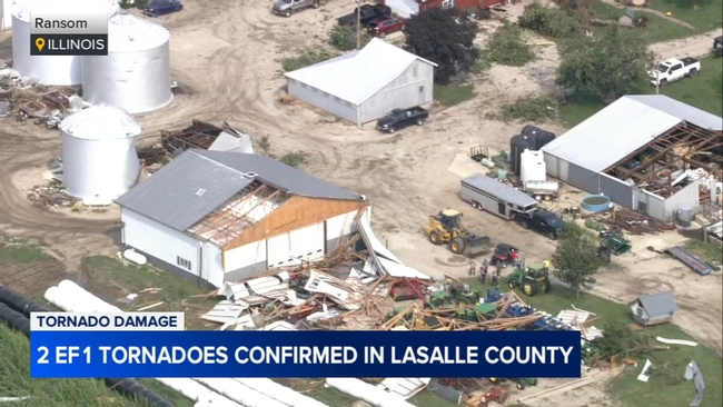
Two rounds of storms hit the Chicago area on Sunday and into Monday morning.
Two tornadoes hit LaSalle County overnight, and another tore through Lee County.
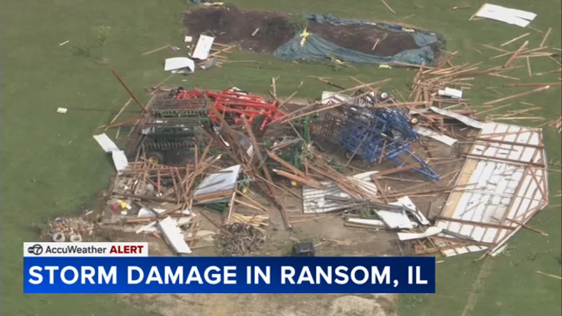
Chopper 7 was over the scene where a tornado struck Ransom, Illinois, about 90 miles outside Chicago.
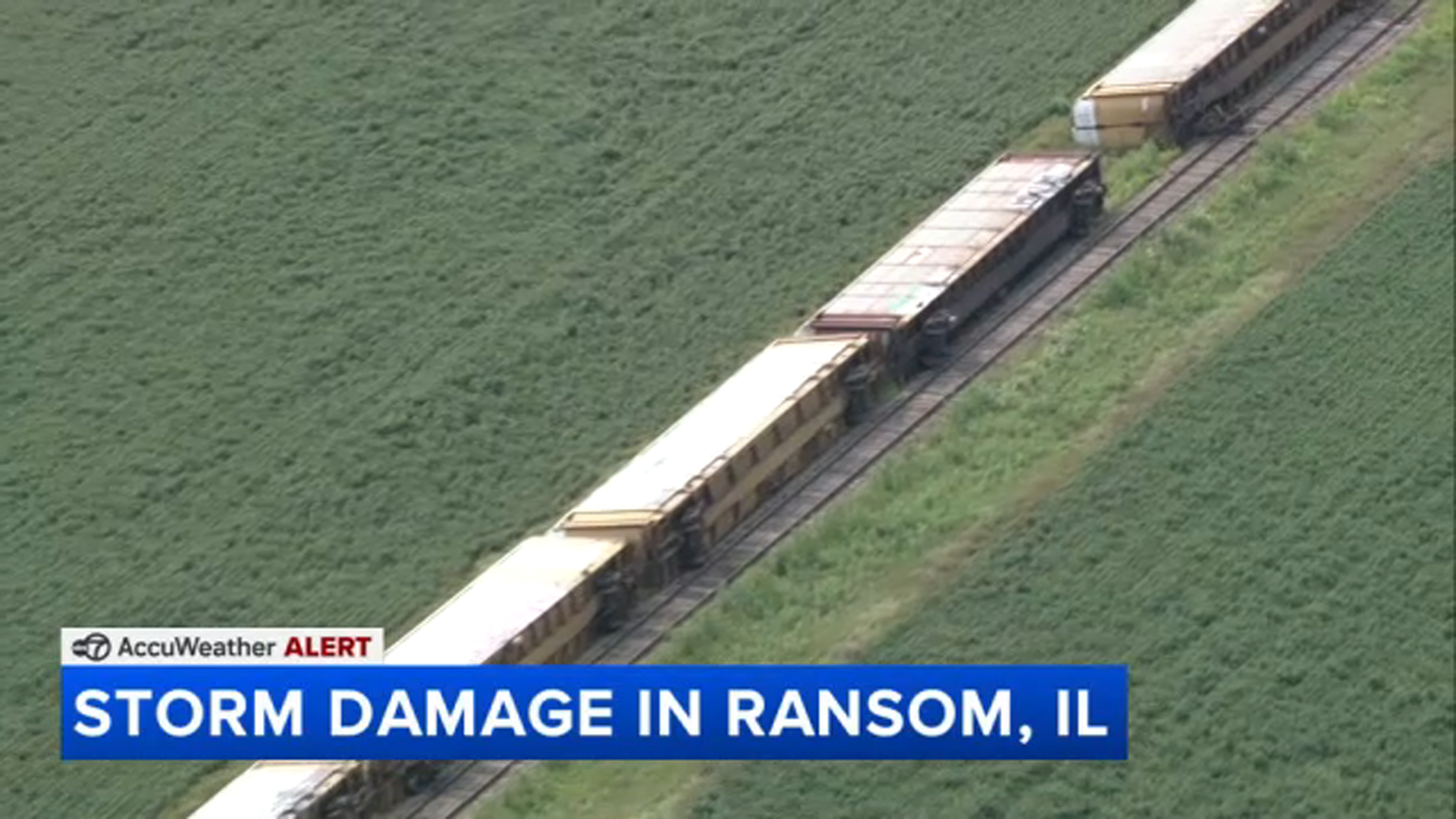
A long freight train was knocked on its side during the storm.
The National Weather Service said an EF1 tornado hit the area, with peak winds up to 100 mph.



Another tornado left EF-1 tornado damage north of Streator, with maximum estimated winds up to 95 mph, the NWS said.
And the NWS confirmed that a third tornado touched down east of Amboy, Illinois, in Lee County. It produced maximum estimated winds up to 90 mph.
Cleanup underway after Sunday's storms
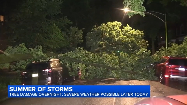
Sunday's second round of storms left some damage behind.
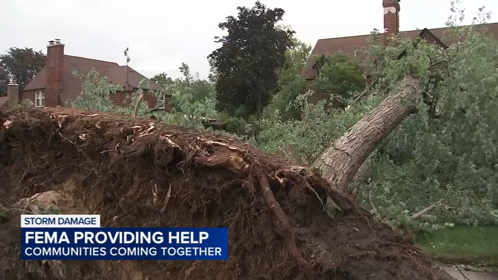
There were several reports of flooding, downed trees, and power outages.
In Andersonville, a tree fell on parked cars near Catalpa Avenue and Clark Street Monday morning.
By 11 a.m. crews had removed the debris on the street. Neighbors say this summer has brought a lot of powerful storms and destruction.
In Oak Lawn, drivers were left to deal with road flooding.
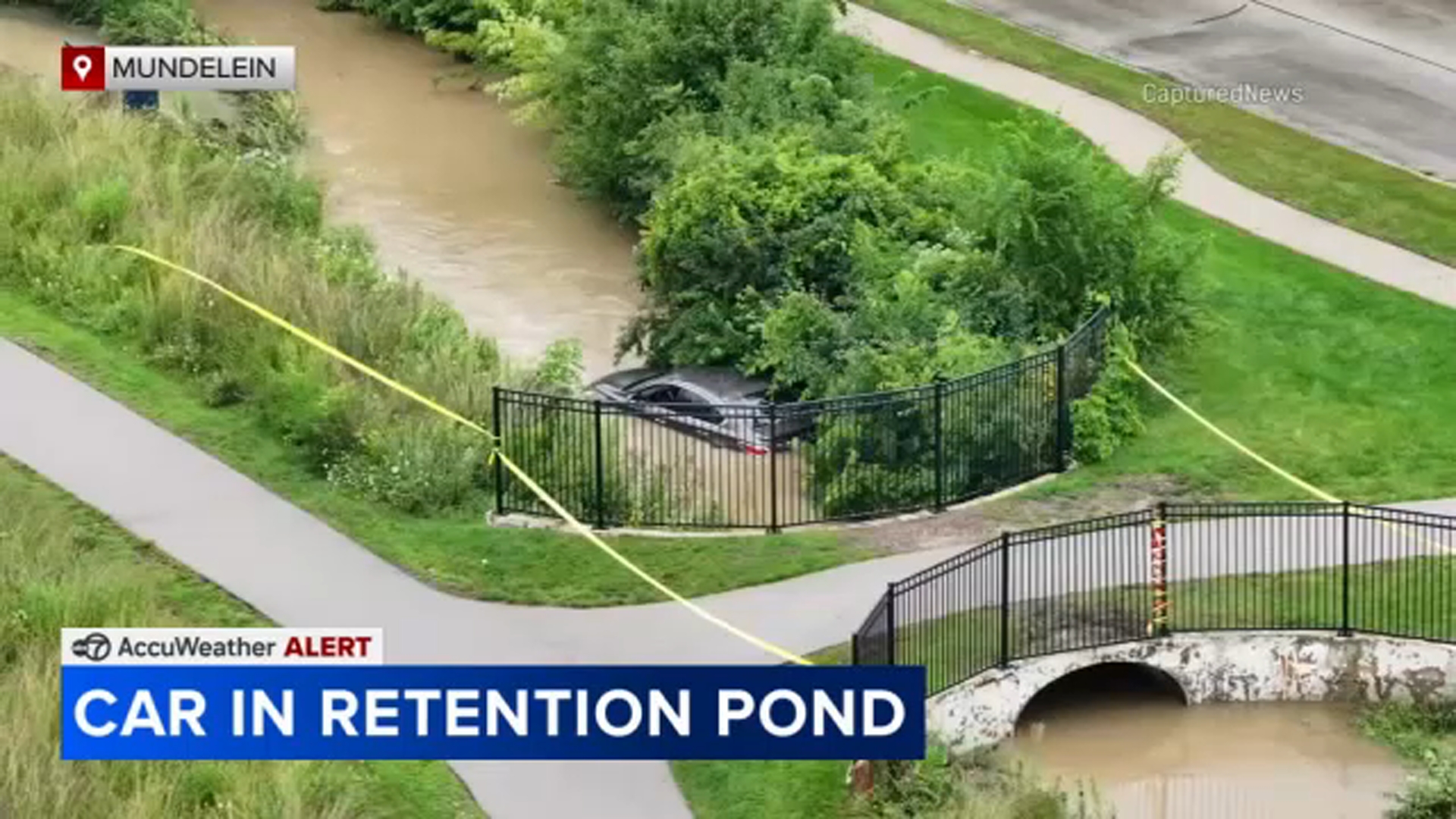
A car went into a retention pond in north suburban Mundelein. There's no word yet if weather played a part in this crash, but the roads appear to have been slick at the time.
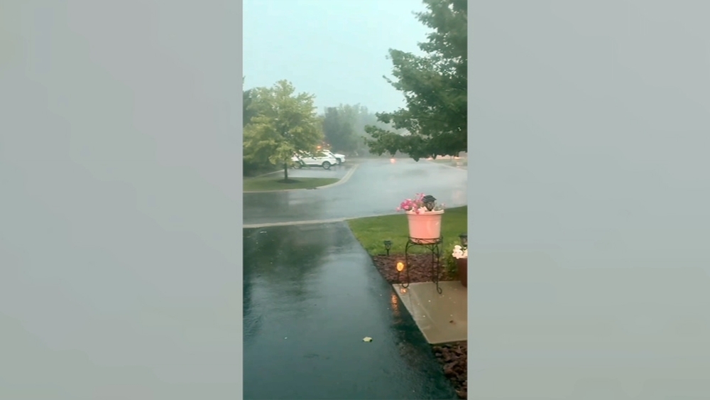
Video out of northwest Indiana shows heavy rain and strong winds battering the area.
In Bartlett, a tree caught fire from a lightning strike Sunday night.
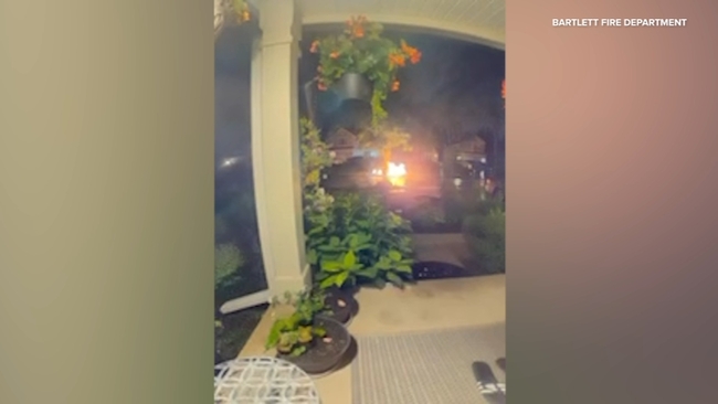
The strike was caught on camera in the 1300-block of Deerfield Lane. An underground natural gas main near the tree was also damaged.