Chicago weather: 2 EF-0 tornadoes confirmed in south and west suburbs, NWS says
Severe weather is expected to continue overnight Saturday


CHICAGO (WLS) -- Two tornadoes have been confirmed by the National Weather Service Saturday as severe storms sweep through the Chicago area.

Humidity in the air has created a charged atmosphere capable of producing severe storms, including tornados, ABC7 Chicago Meteorologist Greg Dutra said.
A confirmed tornado touched down in a portion of south Naperville around 5:41 a.m. near 95th Street and Route 59, according to the National Weather Service.
The tornado has preliminarily been assigned an EF-0 rating with peak estimated winds of 80 mph.
A second confirmed tornado occurred early Saturday morning, around 6 a.m., in Crest Hill and tracked south into the north Side of Joliet before lifting, NWS added. That tornado has preliminarily been assigned as a EF-0 with peak estimated winds of 70 mph.
Naperville's Luke Townsend recounts the frantic moments early in the morning as a confirmed tornado touched down in the western suburb.
"I just really heard my window shake and I really kinda thought it just broke," he said. "Then my mom came in and told us we need to go into the basement and we just rushed all downstairs, me, my sister, my dogs and my mom and dad."
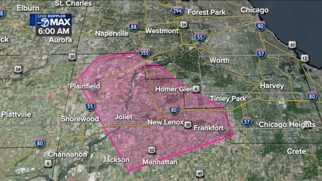
The majority of the damage reported is along the Route 59 corridor from approximately White Eagle Drive south past Hassert Boulevard, NWS said.
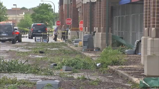
"I woke up to complete chaos. Thunder, lighting, wind. I had no idea what was going on," said Nicole Fly, who owns a Naperville UPS store. "It's absolutely shocking just because we've had these stores almost my whole life and just to see so much of it destroyed breaks my heart."
Severe storms cause damage, flooding as tornado confirmed in west suburbs
Despite the damage, neighbors are working together to pick up debris
"There's people already outside cleaning up, making sure people are okay," Fly said.
A local roofer is even offering to tarp up damaged homes, free of charge.
"Everybody in this town is really trying to work together. Everybody has a bond here and we all know that we are from very different walks of life, but we all have the same goal: to be happy and succeed," said Rick Stofan, with #JM Exteriors.
Rainfall and strong winds, with gusts reaching 58 mph at O'Hare Airport, caused some damage, mainly to trees, said Todd Kluber, a NWS meteorologist.
The warm storm's core was moving toward Chicago at 5:20 a.m. It is part of a storm that has produced more than three inches of rain. At 6:20 a.m., the Will County area had moved past an active tornadic situation, Dutra said. A Tornado Warning was in effect for Cook and Will counties early Saturday morning but has since expired.
Snapped trees and minor roof damage had been confirmed by Saturday morning, but the aftermath was still being assessed, Kluber said. There were reports of more damage in the far south part of the city, near 103rd Street and east of Route 59.
Isolated reports of storm damage, mainly damaged trees, have been made throughout south Naperville. Roof damage and multiple gas leaks in a commercial building were also reported, authorities said. Additional damage included a dozen roads blocked by fallen trees or limbs, minor flooding issues and a power outage in the area of Washington Street and Gartner Road caused by fallen tree branches.
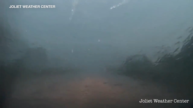
WATCH: Video shows storms moving through Joliet
Some drivers found themselves stuck in floodwaters. Suburbs west and south of the city saw some of the heaviest damage. No storm-related injuries or deaths have been reported in Will or DuPage counties.
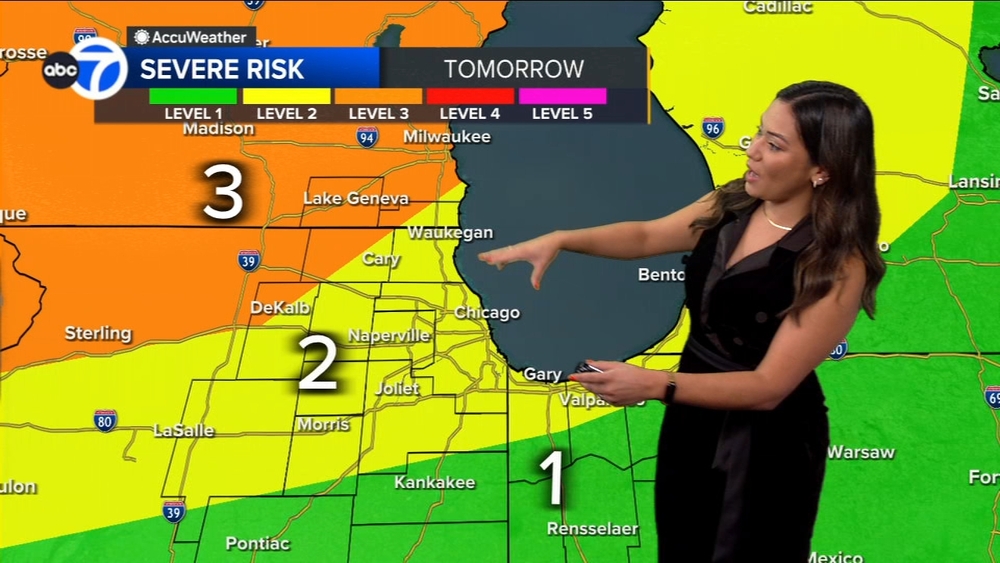
There have also been reports of enough hail to inflict damage, including golf ball-sized hail in Naperville, Dutra said. Madison and Milwaukee are the areas most at-risk for tornadic activity, he added.
Dutra said a now-expired Flash Flood Warning was issued for some counties due to how slowly the storms are moving and how much rainfall they are producing through the area.
WATCH: Cars stuck on flooded roads

Another Flash Flood Warning is in effect for Des Plaines River until further notice, NWS said.
A Flood Watch will be in effect from 7 p.m. Saturday until noon Sunday for much of the Chicago area.
Several vehicles in Lake Bluff and Lake Forest got stuck in the high waters on roadways after heavy rain from overnight storms.
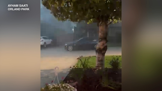
WATCH: Video shows heavy rain moving through Orland Park
Additional potentially severe weather is forecasted later Saturday into the overnight hours, NWS said.
There will likely be an evening round of thunderstorms in the area's northern counties. Overnight, the storms travel south, Dutra said.
The storm's main threats are gusty winds, frequent lightning and heavy rain, Dutra said.
Residents should call 630-420-6187 to report flooded roadways, blocked streets or damaged parkway trees. In an emergency, call 911.
As of 8:30 a.m., ComEd reported 351 active outages with 12,440 customers affected.
The Sun-Times Media Wire contributed to this report.