Chicago weather forecast includes snow for Wednesday after stormy start to week | LIVE radar
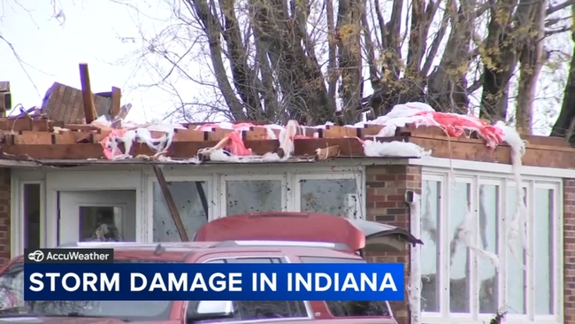
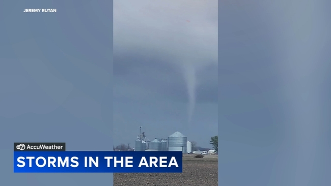
Apparent funnel cloud caught on video in Manteno area; some roofs ripped off in Evansville


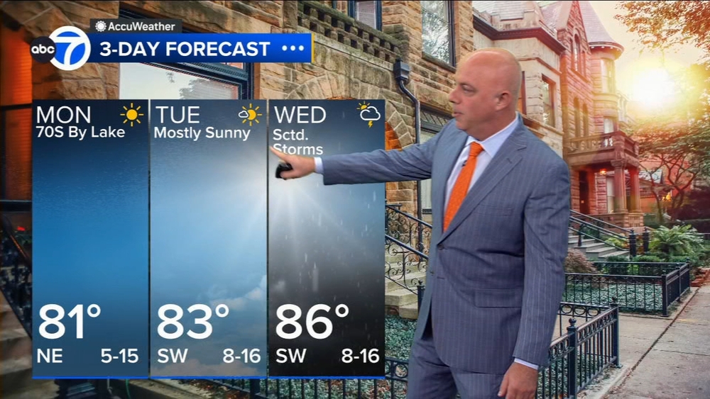
CHICAGO (WLS) -- Chicago could see some spring snow early Wednesday morning, after a stormy start to the week.
Northwest Indiana also had a low risk of a few tornadoes Tuesday, and storm damage was reported in southern Indiana early Tuesday morning.
ABC7 Chicago is now streaming 24/7. Click here to watch
Video from Evansville showed trees down, roofs ripped off and overall debris. Schools were closed Tuesday because of the damage.
Tornado warnings were issued around 6 a.m. for the area. The National Weather Service has not confirmed if a tornado touched down.
There were several reports of funnel clouds in the Manteno area Tuesday, and one appeared to have been caught on video.
See the latest AccuWeather report
Some of Chicago's southern counties were under a Wind Advisory until 8 p.m., and some thunderstorms are possible Tuesday evening.
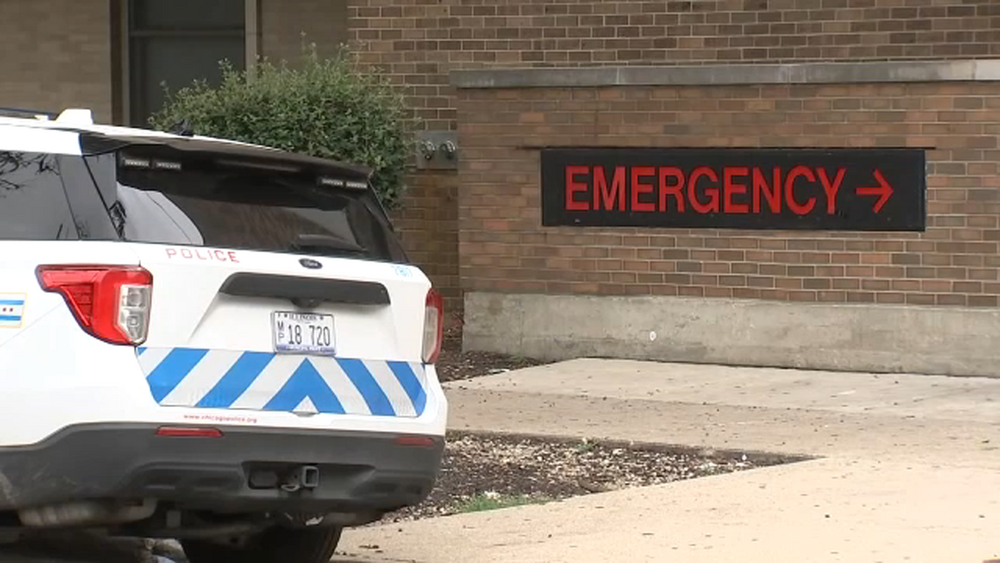
The Wilmington Fire Protection District responded just before 8 a.m. Tuesday to the area of Leasure Road, east of Route 102, for a report of a school bus in the water.

Students with special needs and two others were on the bus.
Fire District Swiftwater Rescue personnel safely removed the occupants from the floodwaters.
No one was reported injured in the incident, and the student were put on another bus.
The precipitation may switch to snow Tuesday evening in the northwest suburbs, but also might taper off before picking back up early Wednesday morning.
A Winter Weather Advisory is in effect for McHenry and DeKalb counties until noon Wednesday.
An AccuWeather Alert has been issued for Wednesday, with snow showers and gusty winds.
Some accumulation is possible.
Snow is likely during the morning commute Wednesday and throughout the day.
An inch or 2 of snow is possible on grassy areas, but there is potential for several inches in the northwest suburbs.
A rain/snow mix could linger Thursday morning before better weather arrives.