Chicago Weather: Snow squall warnings issued for intense burst of heavy snow


CHICAGO (WLS) -- A fast-moving system brought a burst of heavy snow to the Chicago area Friday evening, prompting snow squall warnings from the National Weather Service.
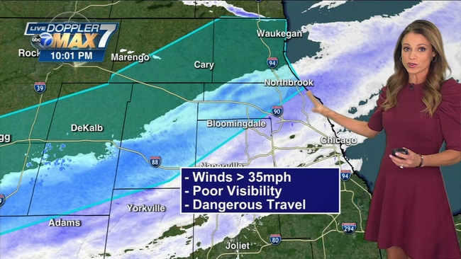
A snow squall is defined as a short but intense burst of snow accompanied by strong winds that can produce whiteout or near whiteout conditions, ABC7 meteorologist Cheryl Scott said.
WATCH | What is a snow squall?
The snow squall line was brief but intense as it blasted its way through the Chicago area around 10:30 p.m. The system was so unstable, Doppler 7 MAX Radar even picked up some lightning strikes in southeast Wisconsin.
Drivers were warned to avoid travel until the snow squalls passed. So far, no crashes related to the squalls have been reported.
RELATED: Supplies you need for your car for winter driving
The National Weather Service has issued a Winter Weather Advisory for much of the Chicago area as blowing snow continues to create problems.
The advisory is in effect for Cook, DeKalb, DuPage, Will, Grundy, Kane, Kankakee, Kendall, LaSalle, Lee counties in Illinois, as well as Indiana's Lake and Porter counties until 9 a.m. Saturday.
The Chicago area was digging out Friday after a winter snowstorm blanketed the area, with areas in northwest Indiana seeing the highest snowfall accumulation.
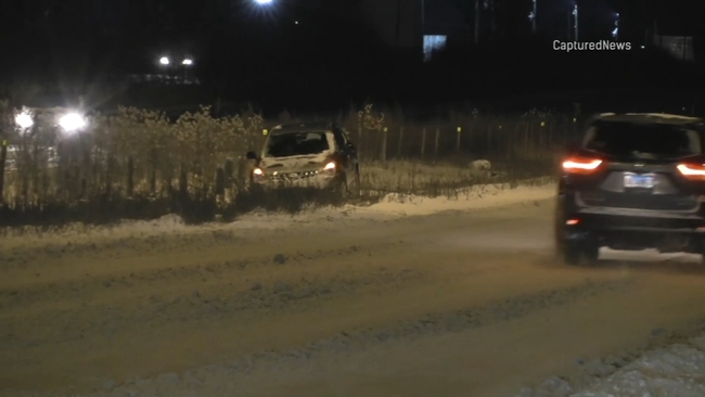
Much of the snowfall Thursday hit the south and southwest suburbs. At around midnight, snow-covered roads continued to create problems near Coal City and Shorewood.
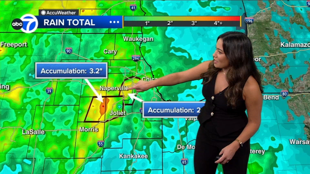
Snowfall totals
Morocco - 9 inches
Rensselaer - 8 inches
hobart 7.5 inches
Streator 6 inches
Porter - 5.5 inches
Schereville - 5.0 inches
Chatsworth - 5.0 inches
Lansing - 4.7 inches
Lincolnwood - 4.5 inches
Naperville - 4.0 inches
Oak Lawn - 3.9 inches
Carbon Hill - 3.2 inches
In the middle of the storm, drivers battled near-blizzard-like conditions with snow drifting sideways.
MORE: 100-car pileup in downstate Illinois shuts down I-39
The day started with heavy rain before the snow and strong winds moved in as the afternoon wore on.
Friday morning, some areas were still working on the clean-up effort before the morning commute.
Overnight, the Chicago Department of Streets and Sanitation transitioned 287 salt spreaders to begin clearing snow from residential streets.
WATCH: Full ABC7 AccuWeather 7-day Forecast
The weather created significant problems at the city's airports. On Thursday, more than 380 flights were canceled at O'Hare and more than 140 cancellations at Midway. Friday, O'Hare reported 113 flights canceled, with 11 flights canceled at Midway as of 10:42 a.m.